Roads
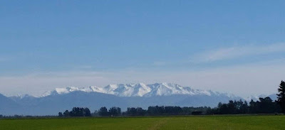
Across Lake Brunner you can see the fault running along the base of the hills. This photo is taken from the train slowing down into Moana, and shows that southern roads are not all uniformly smooth seal.
Moana is a holiday village with a heritage railway station and other structures looked after by Heritage New Zealand.
There is a plentiful supply of road-building materials in the south, so most of the main roads are in great condition, as this shot of the Lindis Pass shows.
As you get nearer to Christchurch, the proportion of motorhomes falls and the number of heavy transport vehicles increases, so the state of the road gets rougher.
A lot of work has been done in Christchurch itself to restore the actual road surfaces, but locals are still confused by daily changes to the opening and closing of streets in the central city.
Entering the square from the south
A block west of the square..
At Wanaka we stopped off at the Warbirds and Wheels Museum:
My father had an even older one of these when I was about seven years old! We were able to travel 50k each month on the one gallon of petrol we were allowed under the wartime rationing system. You started it by swinging the crankhandle in the front. When my Dad bought it, second-hand, it cost him $10.
Near the Austin 7 is a car such as the President of the USA, Roosevelt, might have used - Teddy, in 1910, not Franklin, 1940. The chauffeur had to get wet! And guess who changed the tyre when they had a puncture? I can remember holdups like that in the Austin.
This is the suspension bridge across the river at Ophir, one of the historic goldmining villages we visited.
An even older bridge sits beside the highway on the Pig Route between Palmerston and Ranfurly.
Look carefully and you will see the abutments and arch stones are mortared, but the schist rocks that form the superstructure are not secured at all. All care and no responsibility when you are transporting gold!


